Baltimore Washington International Thurgood Marshall Airport (BWI)
Orientation and Maps
(Baltimore, Maryland (MD), USA)
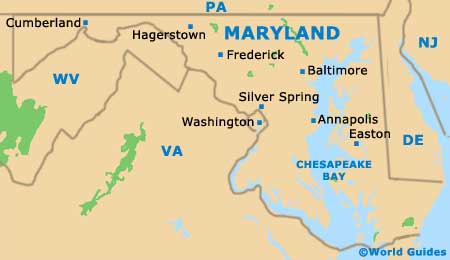
Maryland's city of Baltimore is close to Philadelphia, Lancaster and New Jersey, all of which lie to the east. Also nearby Baltimore, Gaithersburg, Washington and Fredericksburg are all located directly south, together with the state capital of Annapolis.
Directly south of downtown Baltimore you will find the Washington Thurgood Marshall Airport (BWI), which can be reached along Route 295. The main bus terminal for Greyhound stands along West Fayette Street, close to Lexington Market, with regular buses connecting both Pennsylvania and Philadelphia. Further buses also run to New York city in around four hours, and to Washington DC in approximately 10 hours.
Baltimore's Penn Stations lies along North Charles Street, on the northern side of the city. Many Amtrak trains connect major cities around America, with trains often being the cheapest way to travel long distances in the USA.
Baltimore Washington Thurgood Marshall Airport (BWI) Maps: Important City Districts
Much of the city center is appealing to tourists, although the Inner Harbor area is especially attractive and full of places to visit. Nearby and to the northwest, downtown Baltimore contains an important business district, close to the wealthy Mount Vernon district. Federal Hill is sited to the south and offers impressive harbor views, with highlights including the American Visionary Art Museum, and the Fort McHenry National Monument and Historic Shrine.
Other noteworthy neighborhoods around the center of Baltimore include Canton, Fells Point and Little Italy, all of which are situated on the eastern side of the Inner Harbor. To the west, the vast Camden Yards sports arena hosts many of the city's largest sporting events and regularly attracts huge crowds.
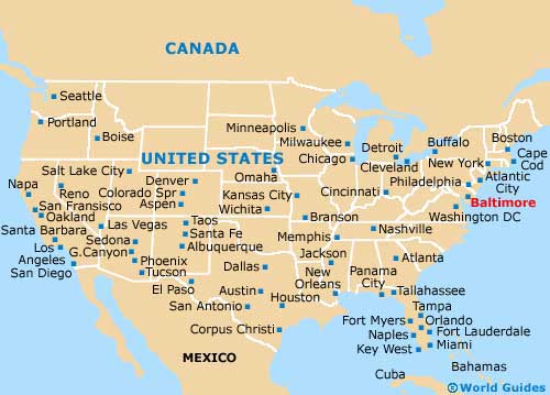
USA Map
Maryland Map
Baltimore Map

